01Live view
Put a name to the view.
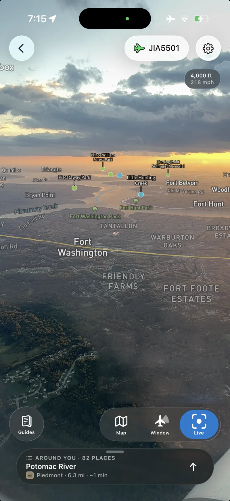
Point your phone out the window to see rivers, parks, and landmarks labeled over the landscape. Tap a place to discover the story behind what you’re looking at.
 Flyover
Country
Flyover
Country
Flyover Country reveals stories about the geology, ecosystems, and human works visible from the airplane window. Explore maps in 3D, point your phone to identify what you're seeing, or learn about the clouds blocking your view. All offline at 35,000 feet.
Free. Saves your flight so it works in airplane mode.
01Live view
Point your phone out the window to see rivers, parks, and landmarks labeled over the landscape. Tap a place to discover the story behind what you’re looking at.
02After dark
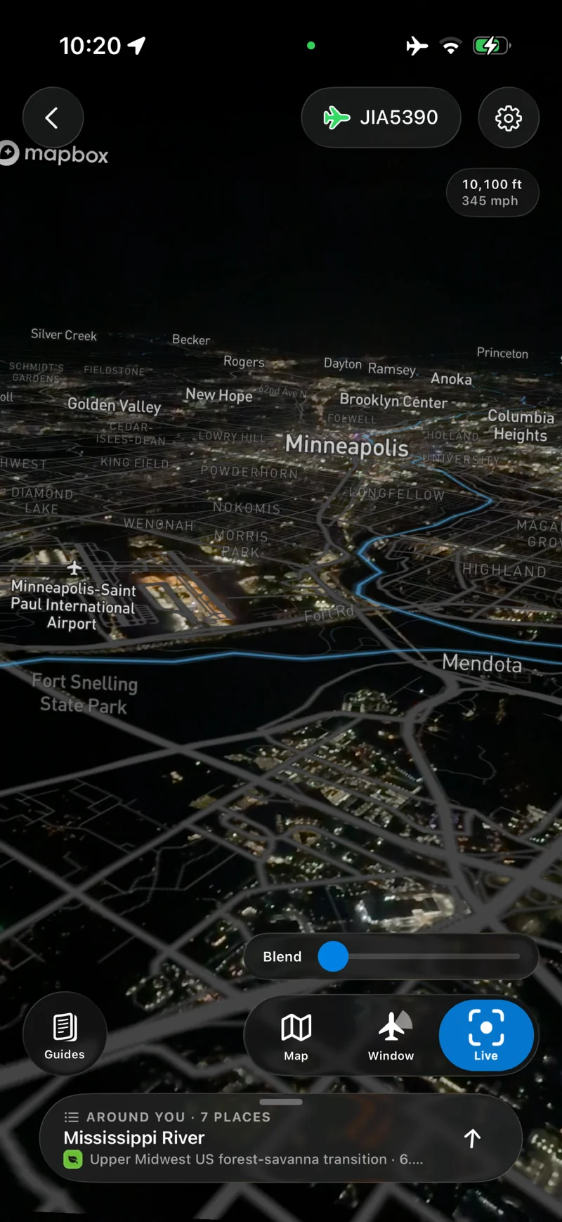
Follow the river through a city after sunset. Blend the map with your camera view to pick out neighborhoods, airports, and waterways among the lights.
033D map view
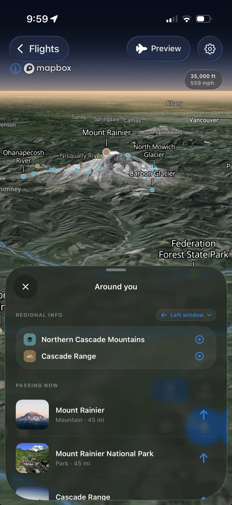
Explore mountains, glaciers, and river valleys in 3D. Preview the view along your flight, then open nearby places to learn about the landscapes to come.
04Offline exploration
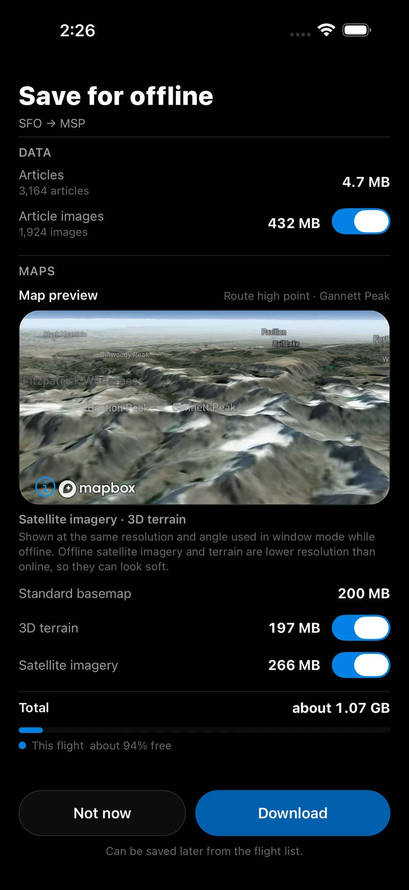
Download the maps and stories along your route before takeoff. Choose satellite imagery, 3D terrain, and article images, with the download size shown up front. Explore your saved flight in airplane mode.
05Cloud and landscape guides
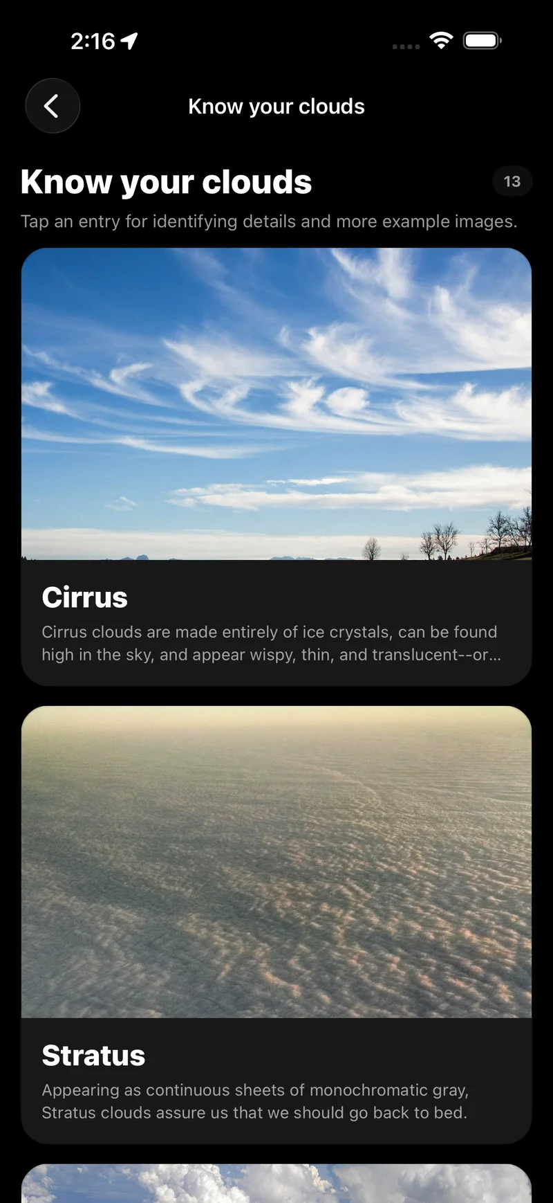
When clouds hide the ground, get to know them instead. Browse illustrated guides to compare their shapes and learn what makes a wispy cirrus different from a blanket of stratus.