Know what you’re looking at.
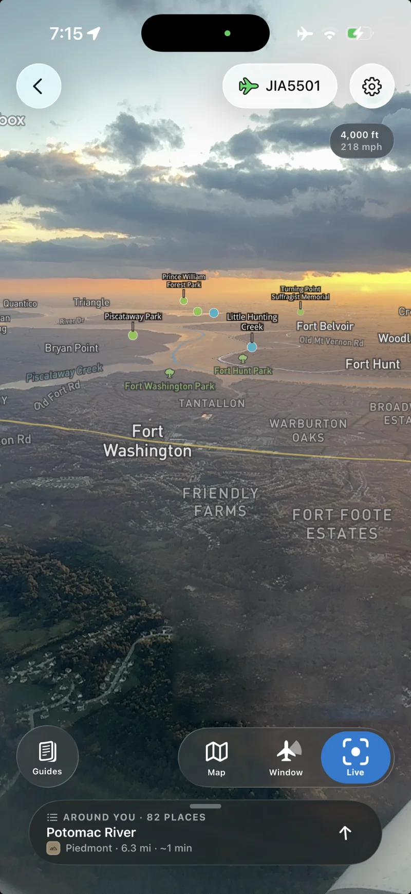
Point your phone out the window to see rivers, parks, and landmarks labeled on the landscape through your camera. Tap a label to read about the place.
 Flyover
Country
Flyover Country tells the stories of the geology, ecosystems, and landmarks you can see from your airplane window. Explore the land below in 3D, point your phone out the window to identify what you’re seeing, or learn about the clouds blocking your view. It all works offline at 35,000 feet.
Free. Save your flight before takeoff to use it in airplane mode.
Point your phone out the window to see rivers, parks, and landmarks labeled on the landscape through your camera. Tap a label to read about the place.
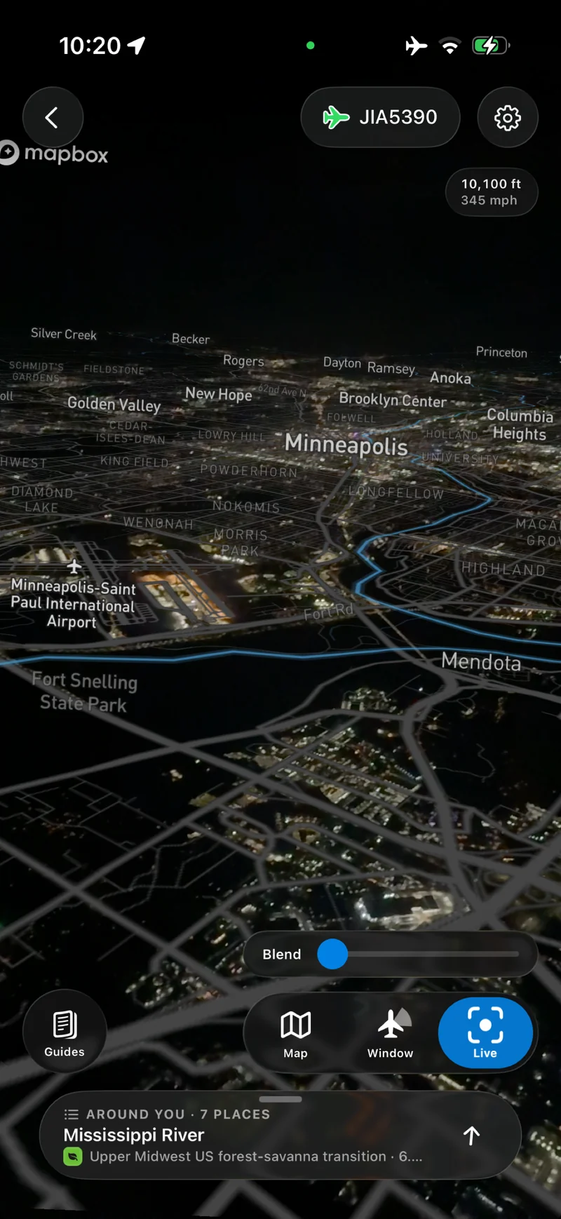
After dark, blend the map with your camera view to pick out rivers, neighborhoods, and airports among the city lights below.
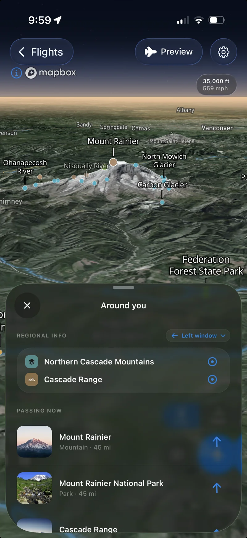
Explore mountains, glaciers, and river valleys on a 3D map. Preview the view along your flight before you board, and tap places along the way to read about them.
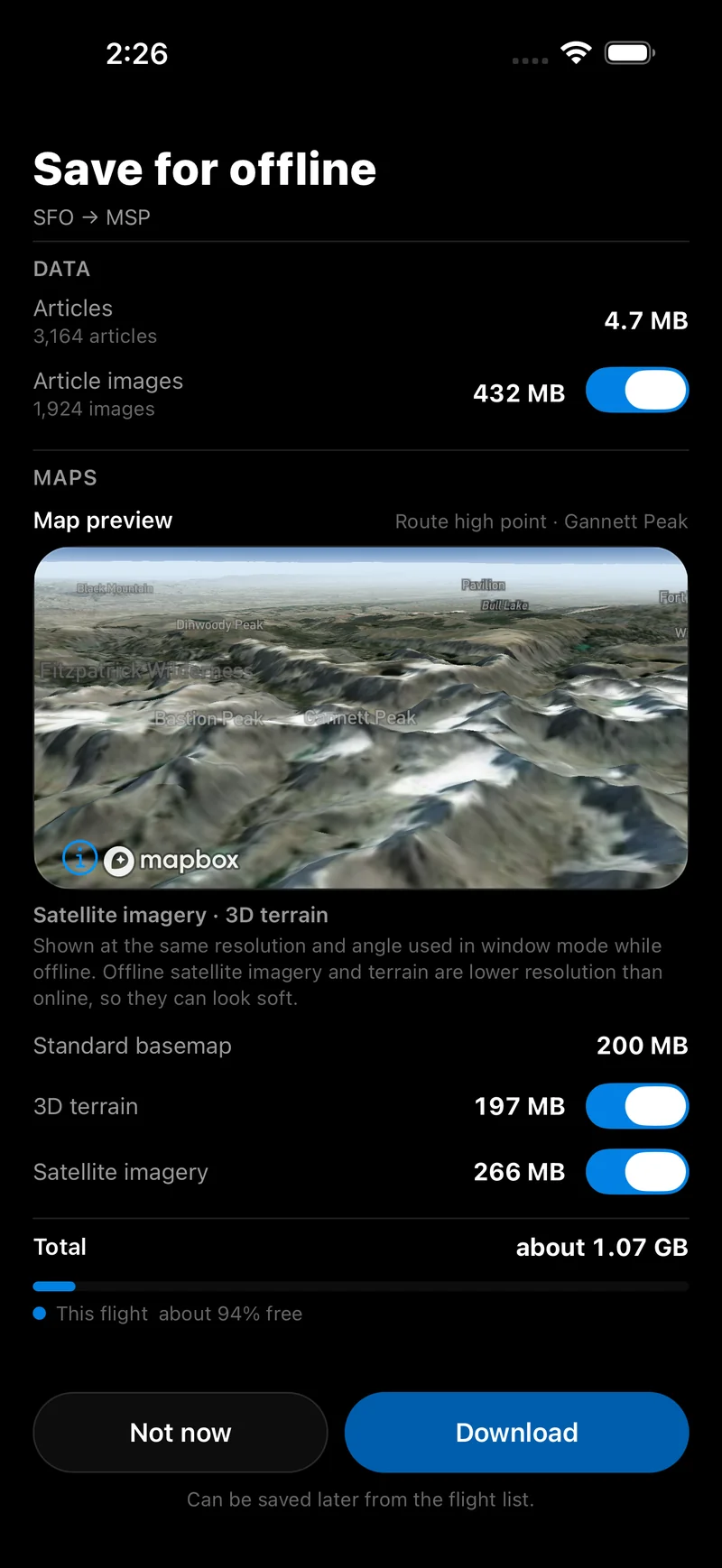
Before takeoff, download the maps and articles along your route. You choose whether to include satellite imagery, 3D terrain, and article images, and you see the download size before you start. Then explore your flight in airplane mode.
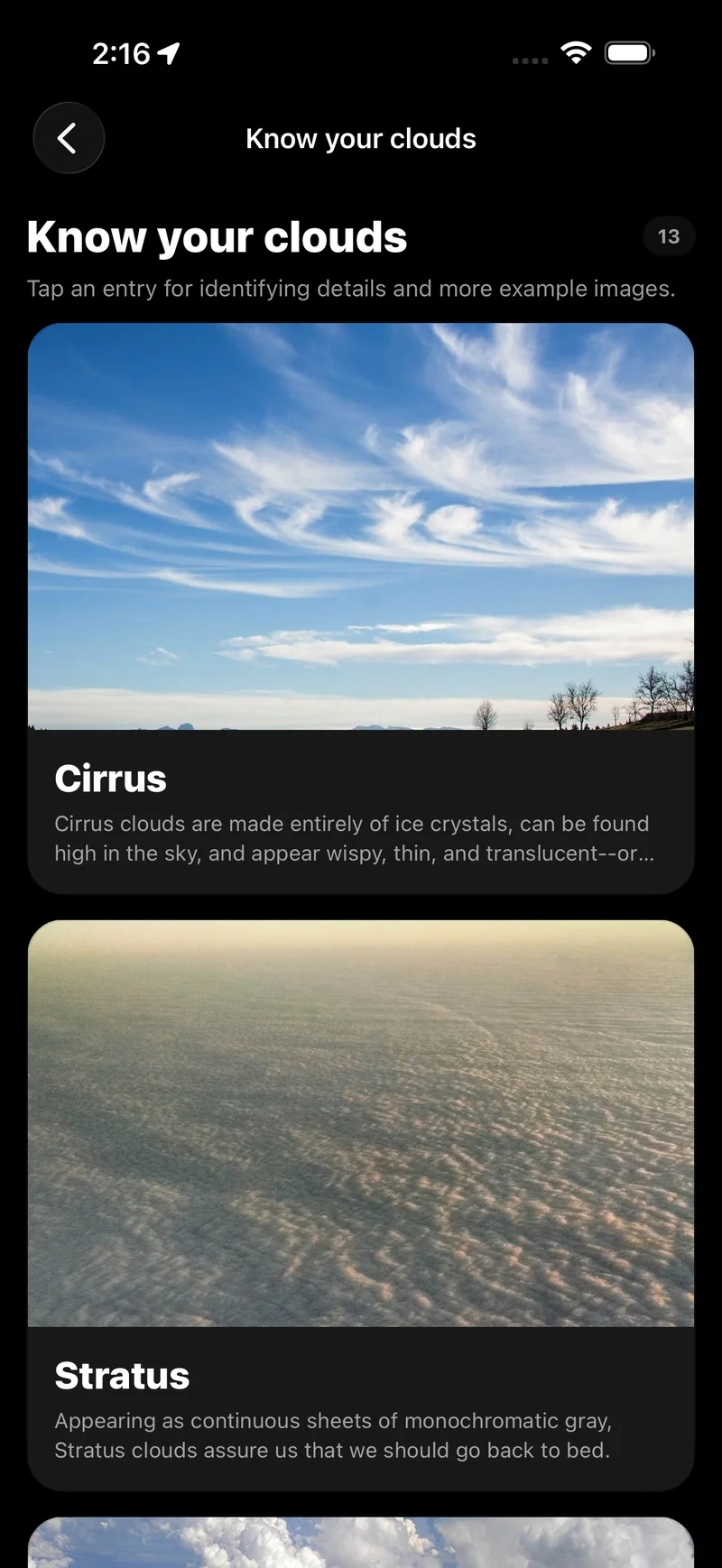
When clouds hide the ground, learn about them instead. The built-in cloud guide uses photos to show what makes wispy cirrus different from a blanket of stratus, and a landscape guide helps you recognize landforms from above.